Montreal Pierre Elliott Trudeau International Airport (YUL)
City Orientation and Maps
(Montreal, Quebec (QC), Canada)
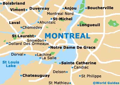
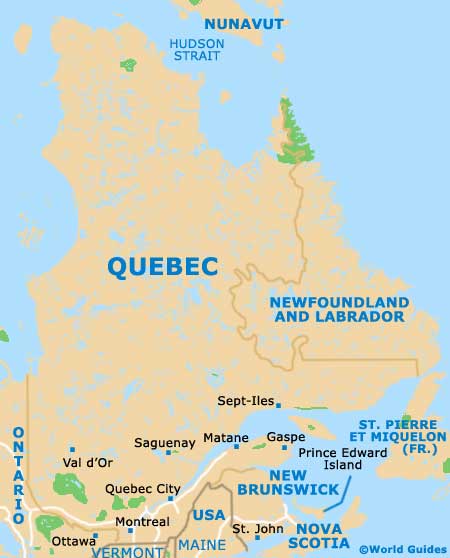
Located in the province of Quebec, the city of Montreal resides on the southeastern side of Canada. The city lies on the Island of Montreal and is approximately 40 km / 25 miles is length and around 15 km / 9 miles in width.
On the western side of Montreal, the Pierre Elliott Trudeau International Airport (YUL) is an important transport hub and is located in the Dorval area. Linked to the city by bus and Metro trains, the airport connects many of the world's most prominent cities.
Montreal Pierre Elliott Trudeau International Airport (YUL) Maps: Important City Districts
Montreal is a particularly appealing and attractive city to experience by foot, being extremely walkable. However, as with many cities in both Canada and North America as a whole, Montreal is a spreading city and many of the sights are spread out, meaning that public transport is often the best option for getting around.
The Boulevard St. Laurent is an important point of reference, dividing much of the city. In general, the gridwork of roads make getting lost almost impossible, with clear signposts on many street corners. Notable districts in Montreal include the bustling downtown area, where skyscrapers are grouped and the city's vast 'Underground City' complex can be found.
Old Montreal District, known locally as Vieux Montreal, lies to the southeast of downtown and contains many of the city's most historic buildings, such as the eye-catching Notre Dame Basilica. Nearby, the Latin Quarter is based around St. Denis Street, while Little Italy features a wealth of top restaurants, lining much of St. Laurent Boulevard. Chinatown is close to Little Italy and also worth considering when looking for a place to eat. The Mile End area of Montreal is home to an important community of both Greek and French residents.
Canada Map

Quebec Map
Montreal Map